We’d love to hear from you
Please get in touch today using our online form or by giving us a call
We offer a wide range of services which are carried out by our expert team. If ou would like more information about any services, please get in touch.


Please get in touch today using our online form or by giving us a call
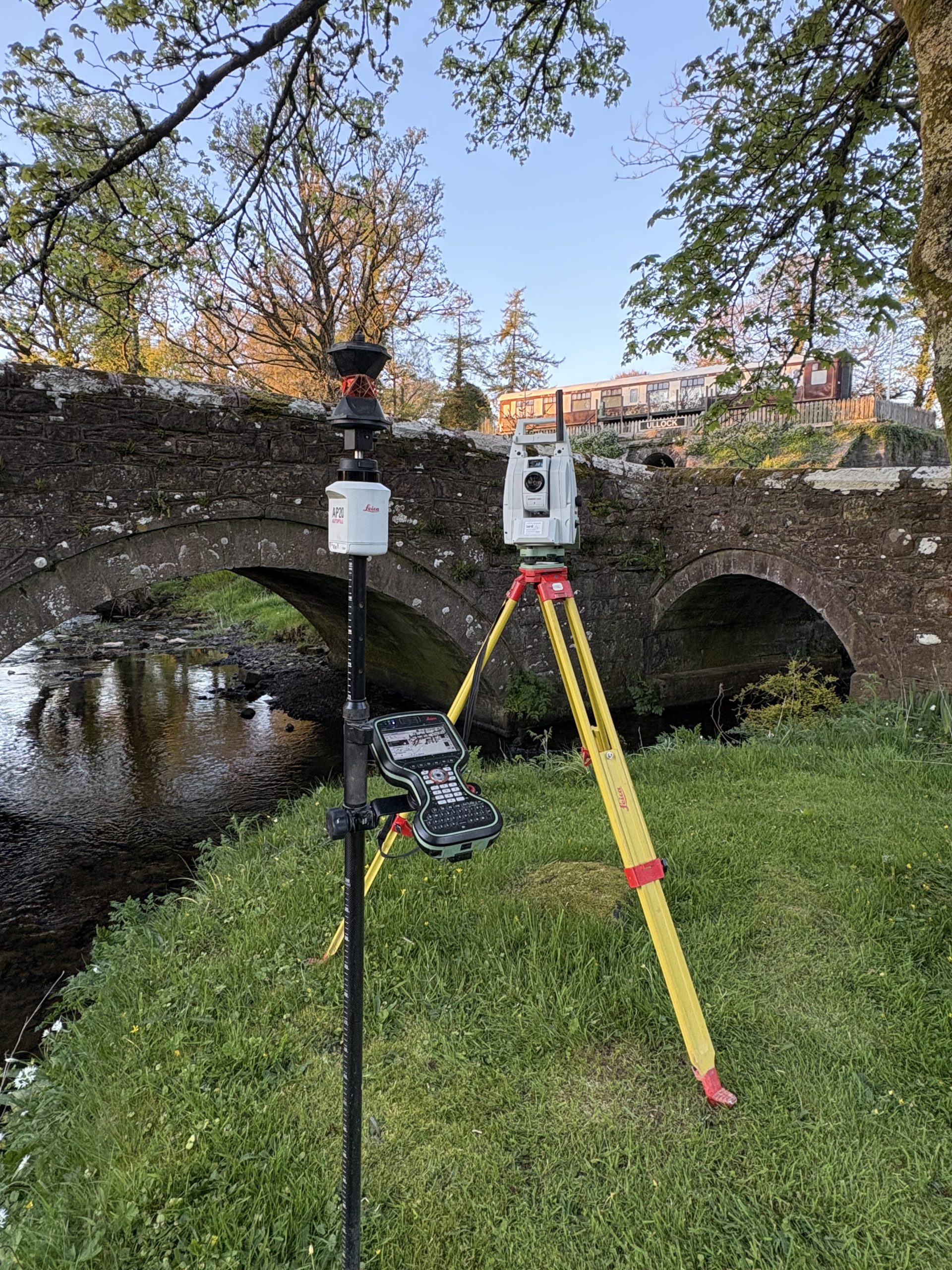

Topographical Surveys
Topographic Surveys involve the production of maps and plans which are true to scale.
The maps are created to exactly represent details of both the natural and built environments. These plans are obtained using industry grade equipment and technologies.
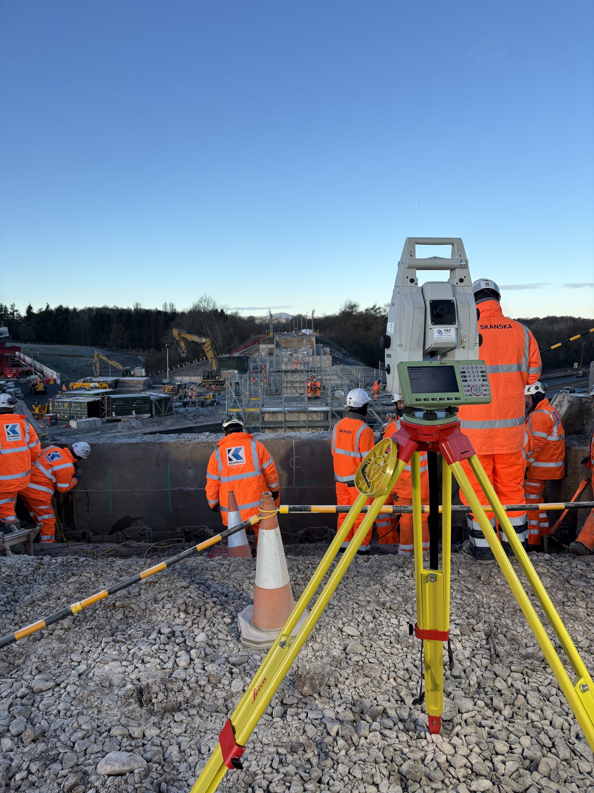

Site Engineering & Setting Out
With the drawings and plans in place, site engineering is the next step in any project before the physical building work can commence.
Our trained and experienced engineers can accurately mark out details on site using a combination of professional drawings, survey data and dependable equipment


Engineering Consultancy
Our consulting services include options for concept design, product and hardware development, and technical reporting. If you aren’t sure what phase of the engineering process you are at, just give us a call, and we’ll help you decide what type of service you need.
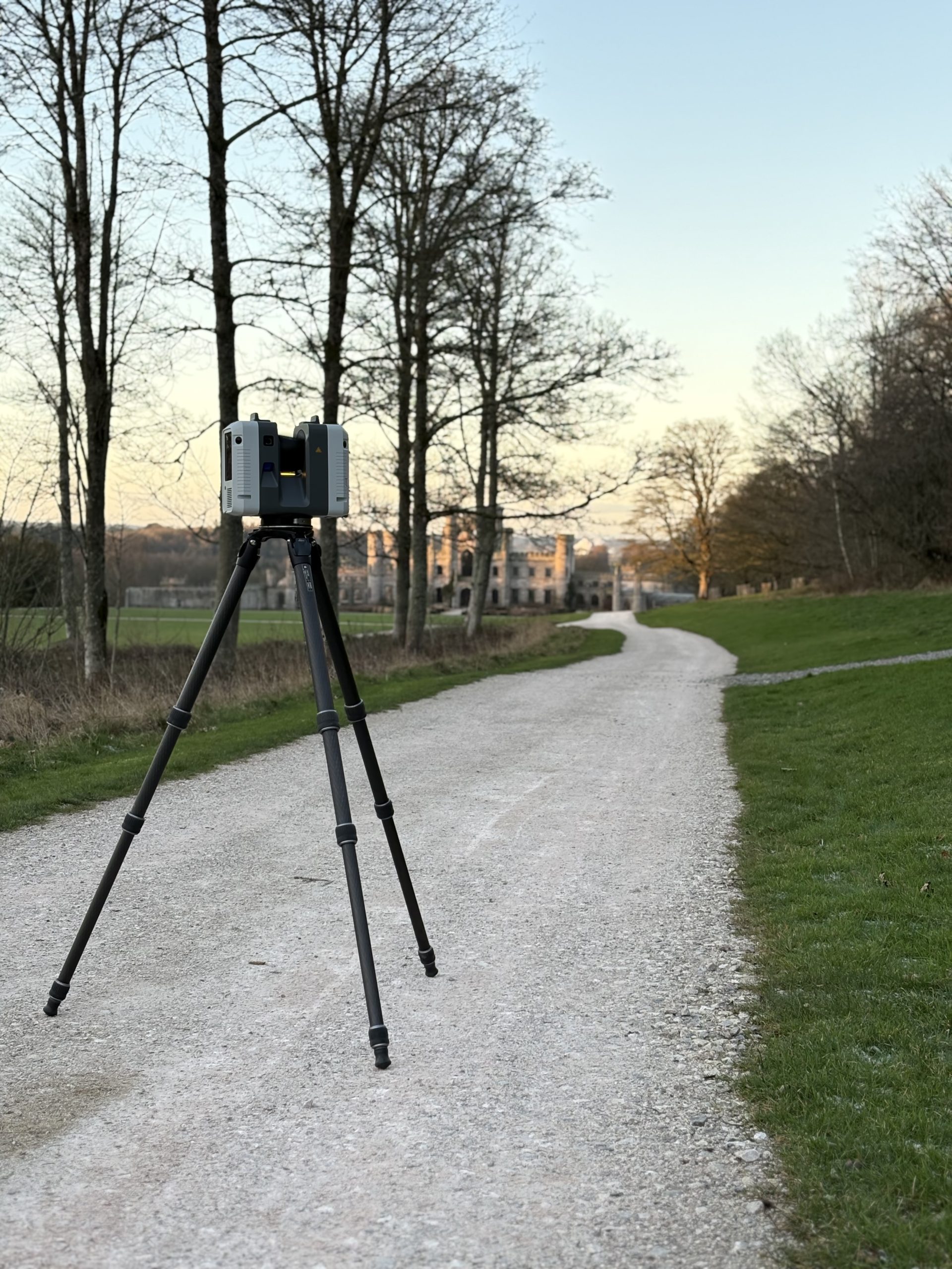
Laser scanning
At Peacock Precision Services Ltd we have an experienced team of laser scanning experts, fully trained in capturing data from many different types of sites and buildings. To produce both detailed and highly accurate point cloud data, we use the latest Leica Geosystems laser scanning equipment alongside Leica Cyclone and Cloudworx software packages.
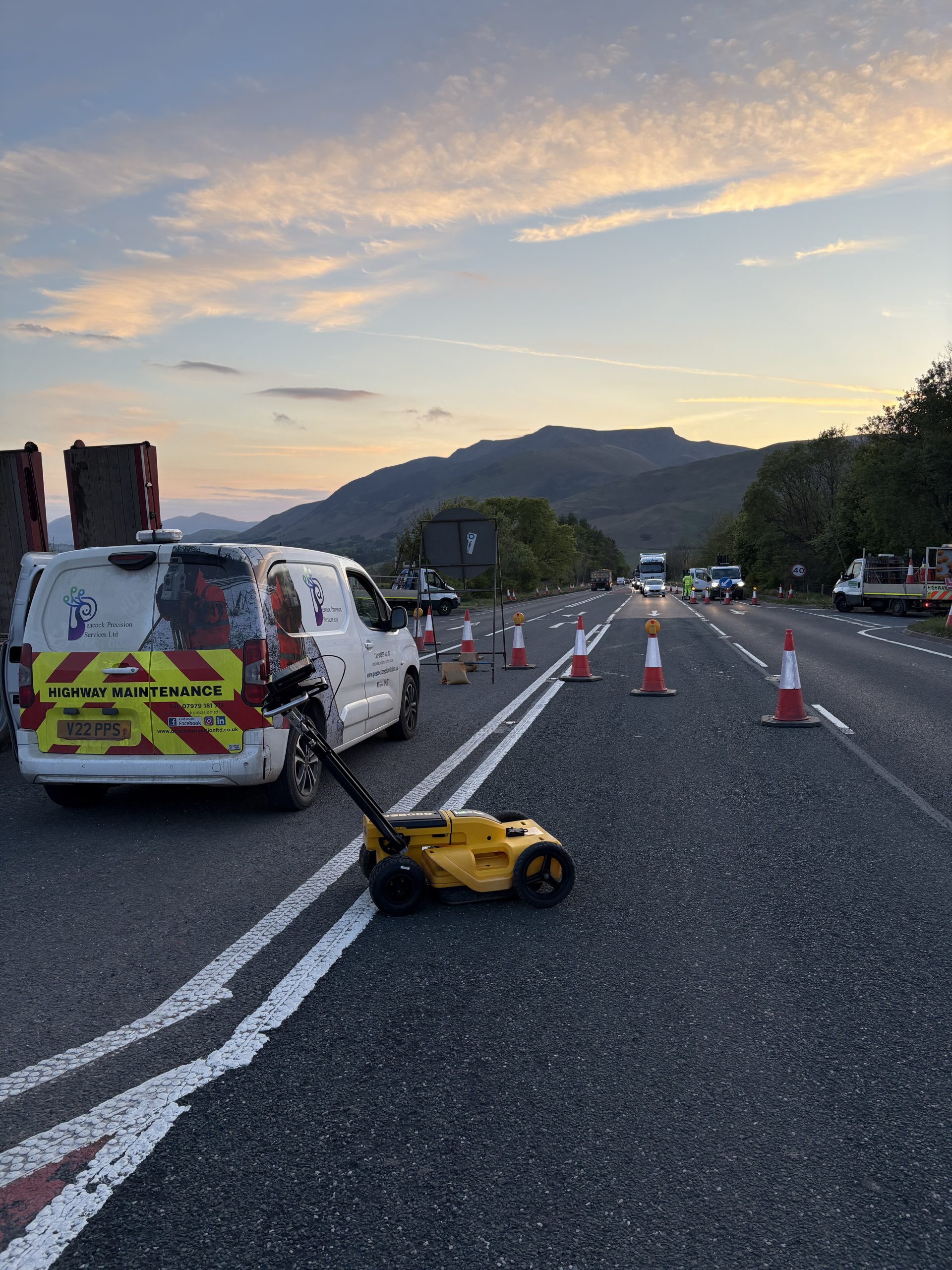

GPR Surveys
Ground penetrating radar (GPR) is a non-intrusive geophysical method used to locate and map sub-surface features.
Common applications are in the identification of utilities, concrete thickness, rebar, concrete structural analysis, and void determination.
UAV Surveys’ to Civil Engineering is second to none, with vast experience gained on major projects throughout the UK and Internationally.
Combining traditional Land Surveying skill with state of the art UAV data capture, we are able to offer best in class accuracy and results.

