
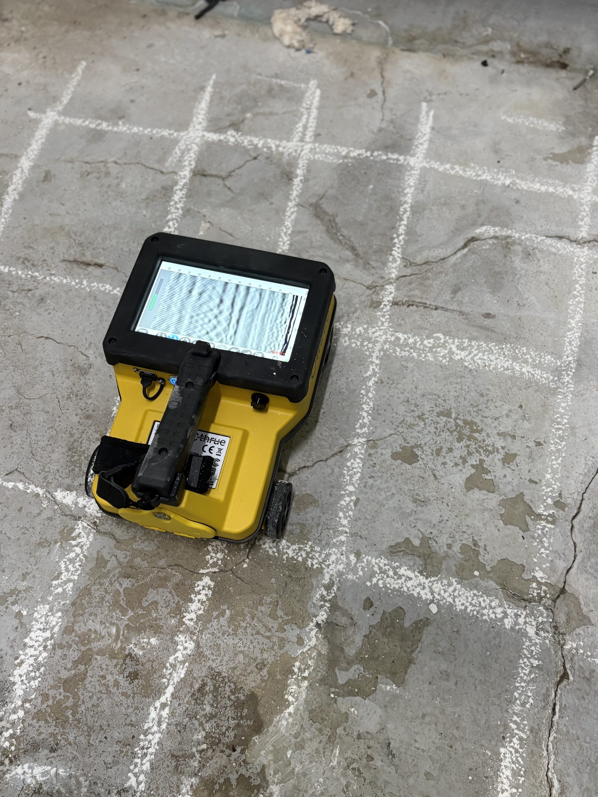
GPR works in a similar way to acoustics and the analysis of sound waves, however, with the use of electromagnetic waves in place; the principles are the same. A radar antenna will emit an electromagnetic pulse as a waveform that will propagate through a sub-surface body creating reflections. The time it takes for a waveform to travel from a transmitter and reflect back to a receiver can be used to determine the location and depth of an object. The speed at which a waveform travels through a body varies in range depending on the composition and potential saturation of that material.
GPR Surveys
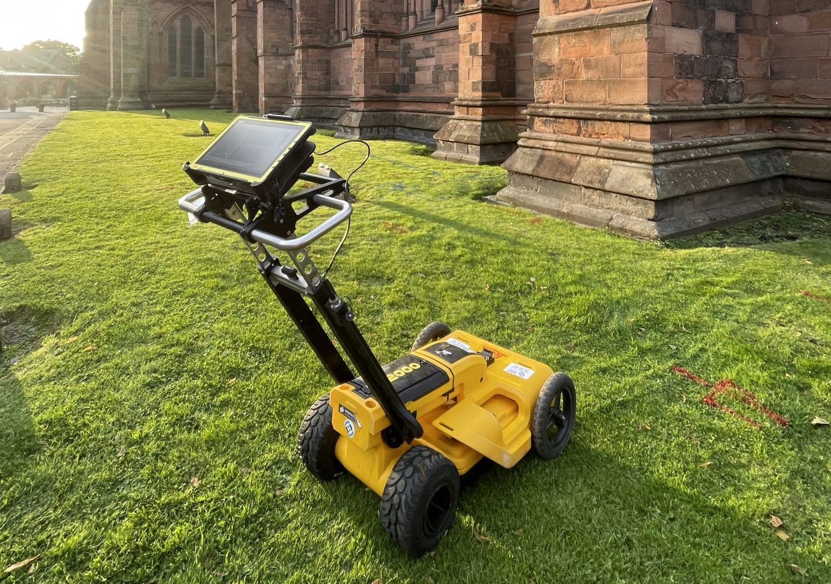
Ground Penetrating Radar (GPR) surveys are a non-invasive geophysical technique used to detect, locate, and map underground features and utilities with high accuracy.


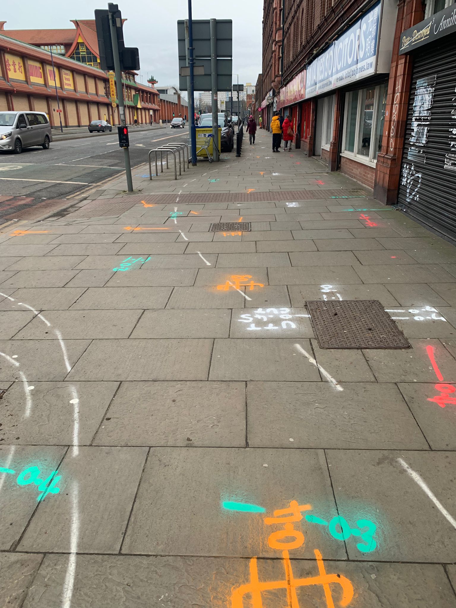
Common applications of GPR surveys include locating utilities, measuring concrete thickness, identifying reinforcement bars (rebar), assessing concrete structural integrity, and detecting subsurface voids. Owing to the versatility of Ground Penetrating Radar, GPR surveys are also widely used for applications such as shallow geological mapping, archaeological investigations, and environmental subsurface assessments. We utilise a range of GPR models and antenna frequencies specifically suited to each type of survey activity, ensuring accurate and reliable results across varying site conditions and project requirements.

Get in touch

